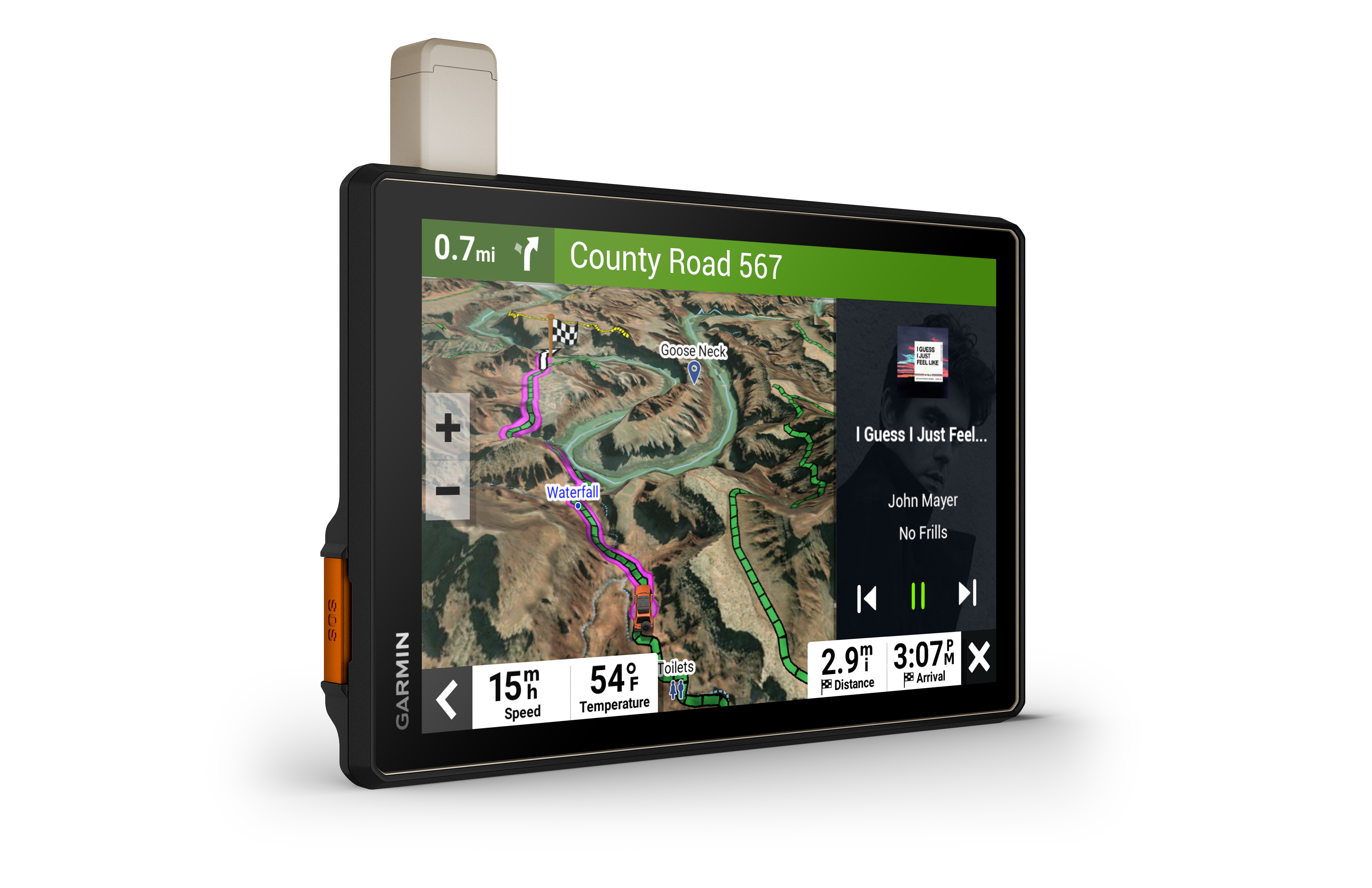
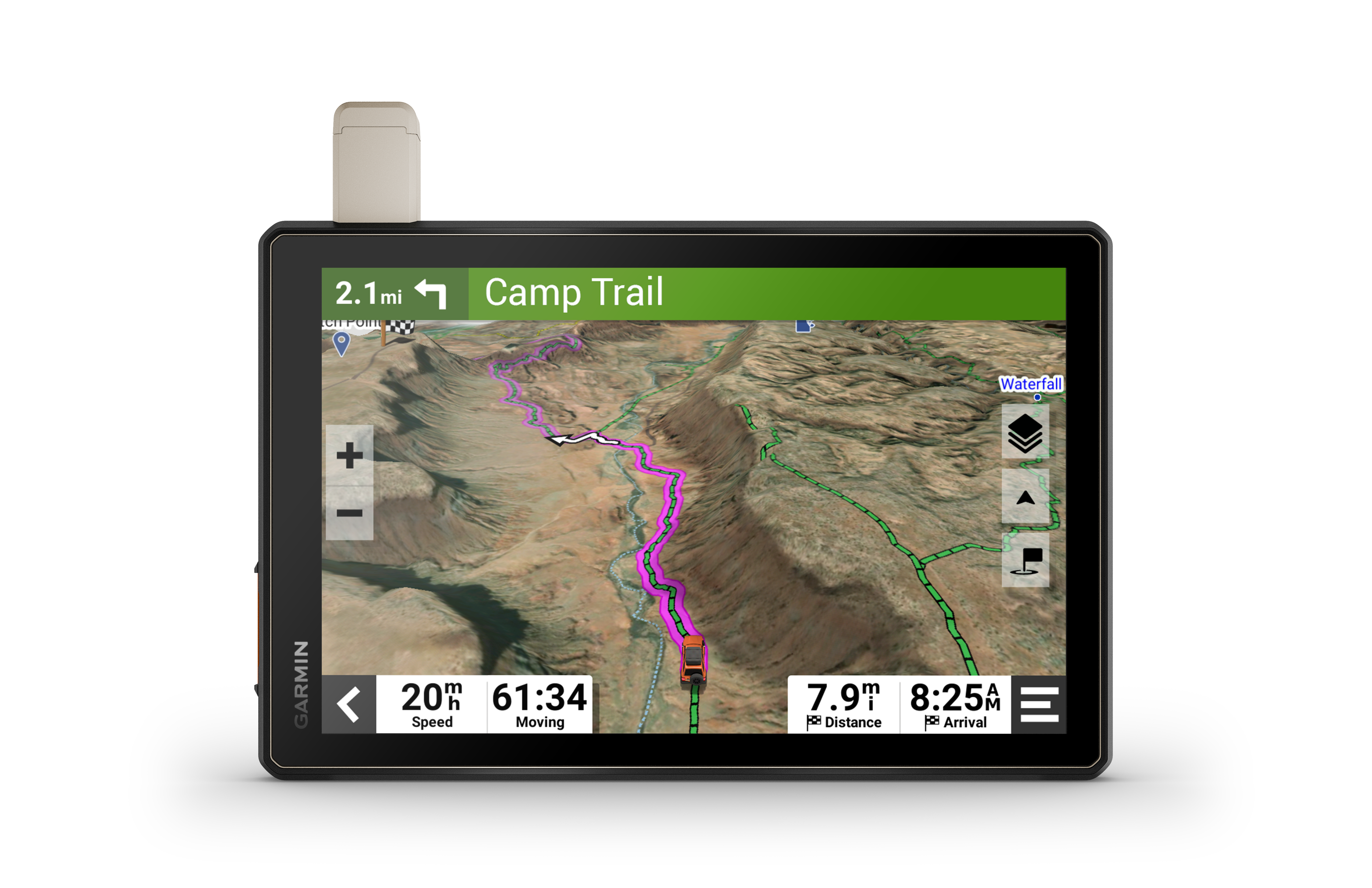
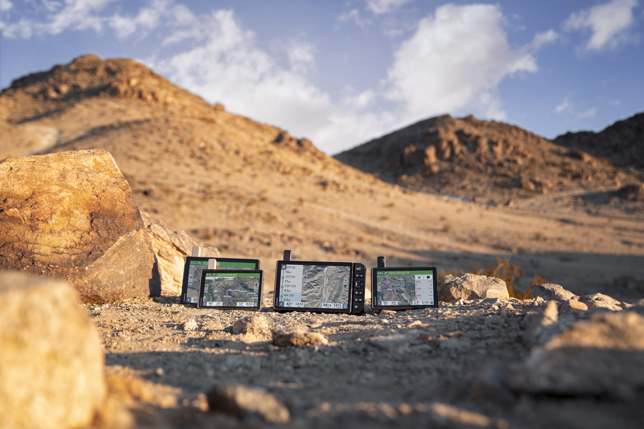
DON’T ARRIVE AT YOUR DESTINATION. DISCOVER IT.

Built for every part of the journey, this extra big, extra rugged all-terrain navigator has the mapping you need to stay on track and communication technology to stay in touch while you’re out there.

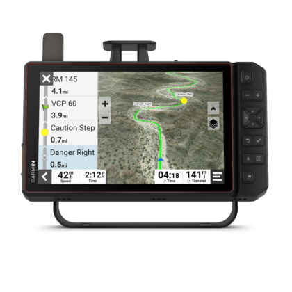
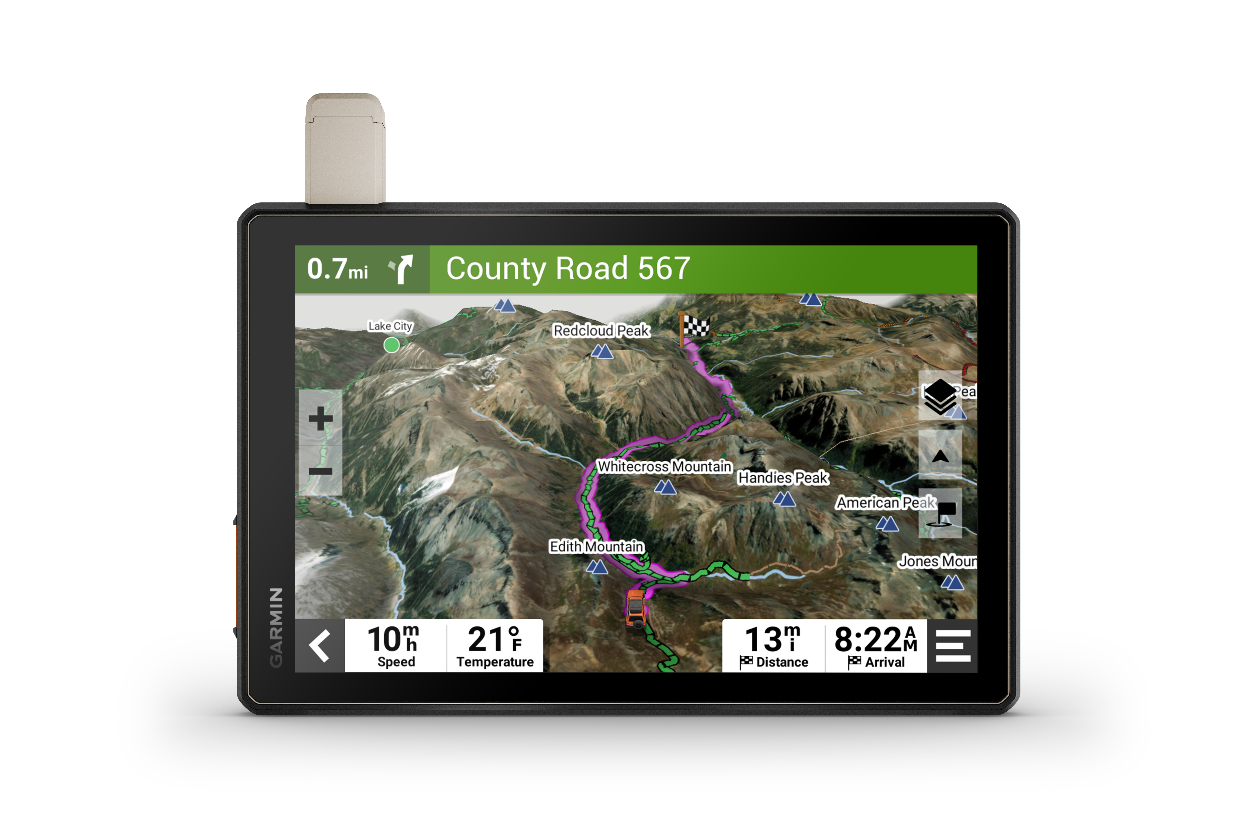
Navigate unpaved roads and trails by using turn-by-turn trail navigation1 with OpenStreetMap (OSM) and USFS Motor Vehicle Use Maps.

Custom routing for the size and weight of your rig2 and preloaded iOverlander™ points of interest (POIs) help you find where to set up camp.

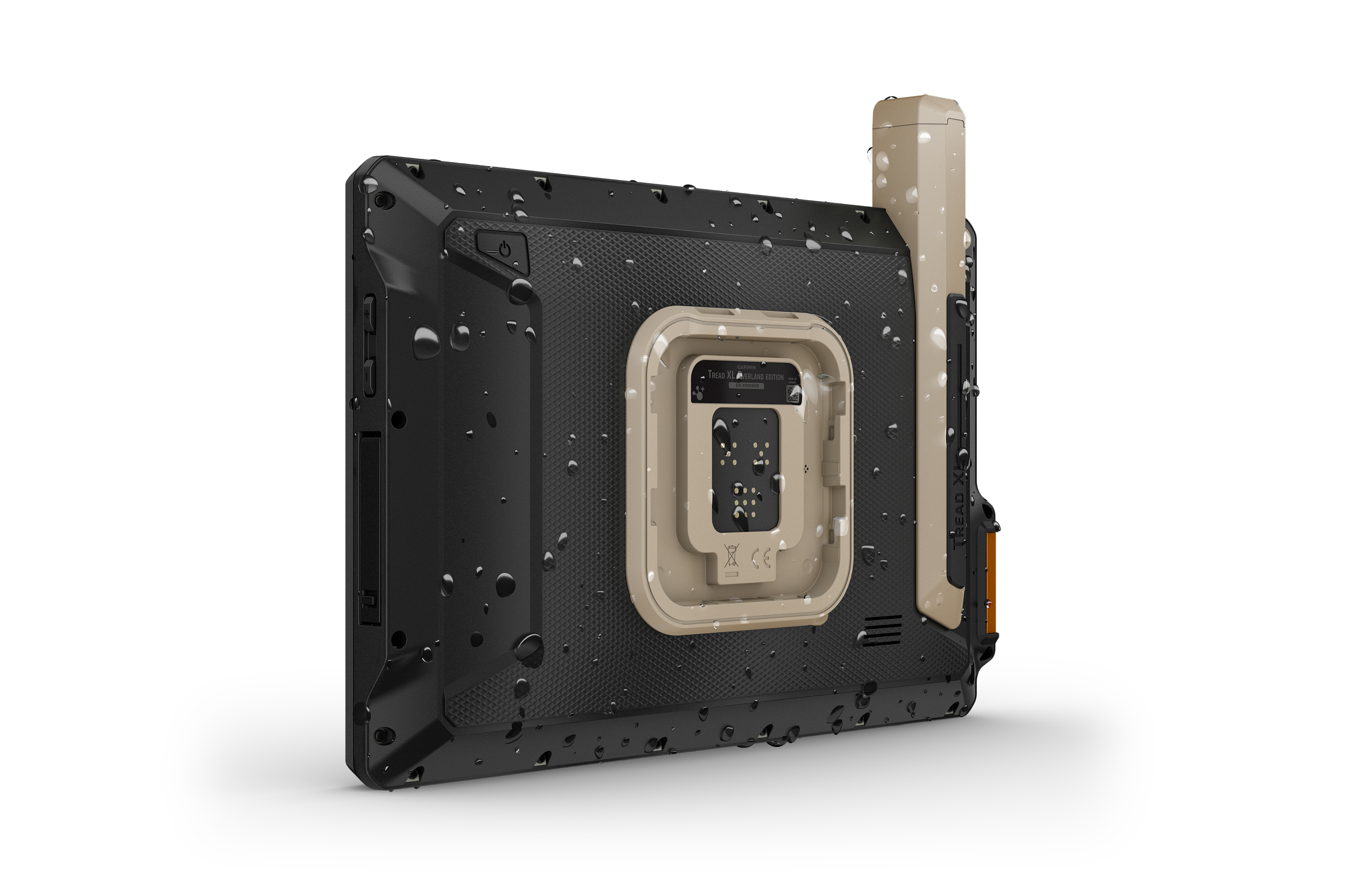
This rugged navigator is IP67 weather-resistant and has an 10” ultrabright touchscreen display.

See vivid aerial views of terrain with downloadable, subscription-free BirdsEye Direct Satellite Imagery.

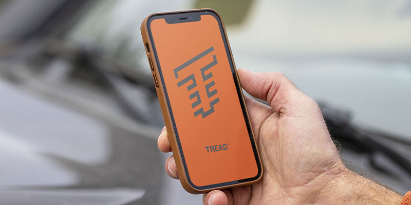
Use the Tread® app on your compatible smartphone to sync data across your various devices and plan routes.

Peace of mind comes built-in. With an active subscription, you can use inReach® technology for global satellite communication.
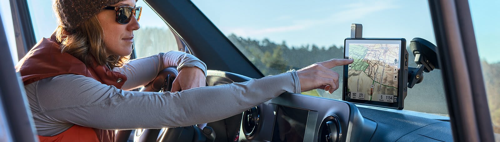
Built for the journey ahead.
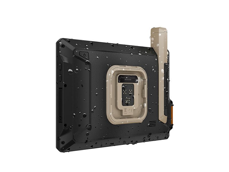
OFF-ROAD RUGGEDNESS

Purpose-built for all-terrain use, this Tread device stands up to anything the elements can throw at it. It’s IP67-rated for water-resistance.
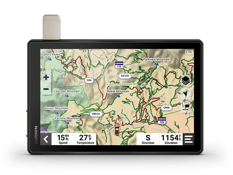
HIGH-VISIBILITY DISPLAY

With its ultrabright 10” glove-friendly touchscreen, the navigator is designed for easy viewing in bright sunlight or pitch dark. It can be mounted in portrait or landscape mode.
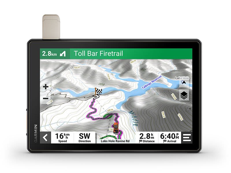
TRAIL NAVIGATION

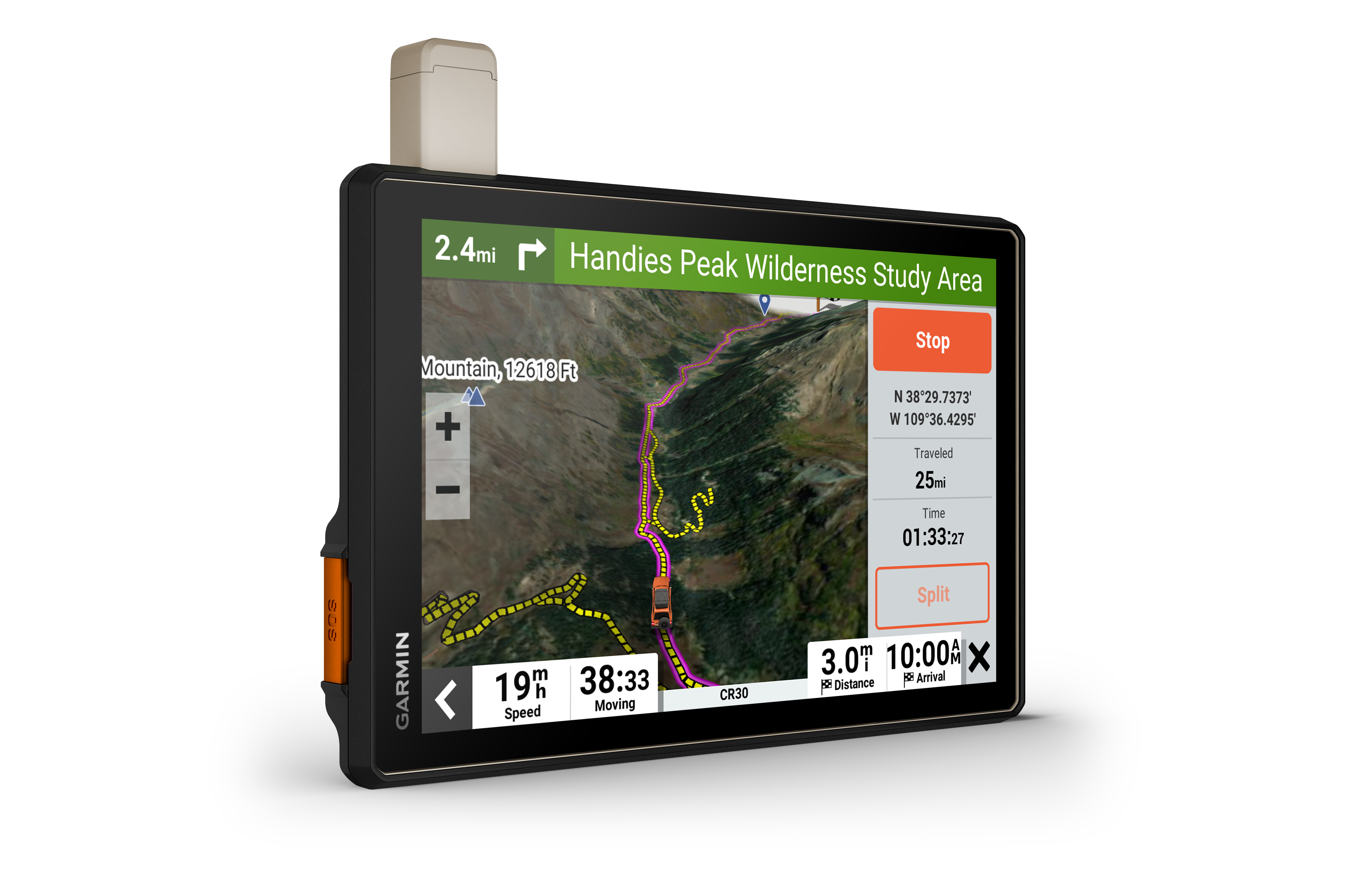
Enjoy turn-by-turn trail navigation for traversing unpaved roads and trails using adventure roads and trails map content comprised of OSM and USFS Motor Vehicle Use Maps.
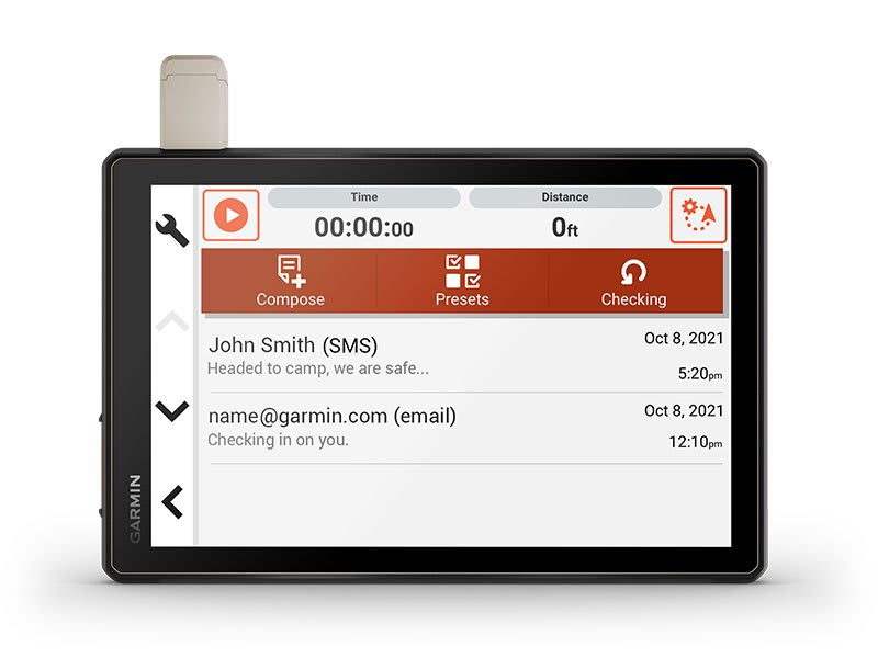
BUILT-IN INREACH TECHNOLOGY

Built-in inReach technology offers global satellite communication3, two-way text messaging, location sharing and interactive SOS.
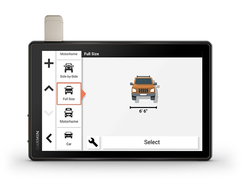
MAPS ON AND OFF-ROAD

Tread includes preloaded topographic maps with 3D terrain for North and South America. It also includes detailed street maps of North America with custom routing for the size and weight of your rig2.
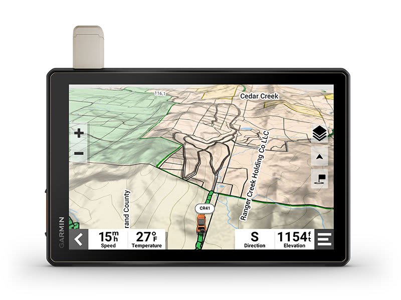
KNOW YOUR BOUNDARIES

Access U.S. public land boundaries for national forests, Bureau of Land Management (BLM), wilderness areas and more. Also, see U.S. private land boundaries and landowner information for parcels greater than 4 acres.
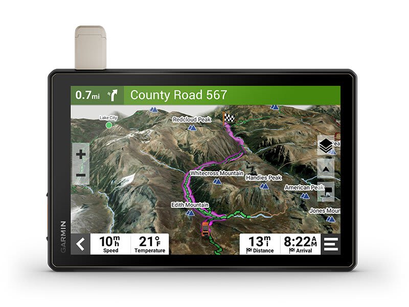
SATELLITE IMAGERY

Enjoy vivid aerial views when you download high-resolution BirdsEye Direct Satellite Imagery directly to your device via Wi-Fi® connectivity, with no annual subscription required.
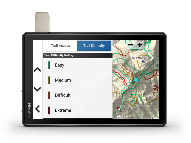
TRAIL RATINGS

Our growing trail database now includes difficulty ratings for off-road riding areas, where available, across the U.S.
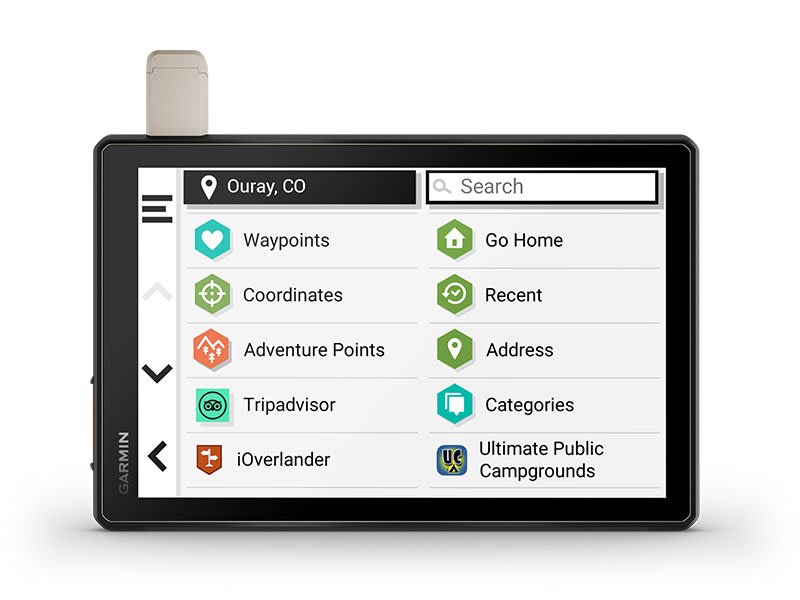
POINTS OF INTEREST

Tread comes preloaded with iOverlander points of interest and Ultimate Public Campgrounds, so you don’t need a cell signal to route to the best-established, wild and dispersed campsites.
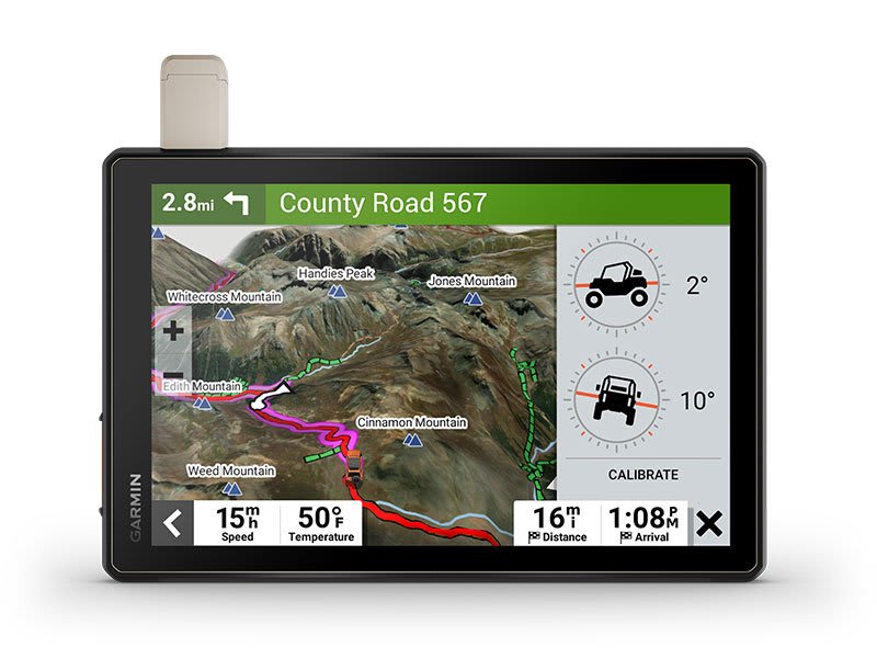
ABC SENSORS

When you’re headed to tough-terrain, the built-in sensors will come in handy — including an altimeter, barometer, compass and pitch/roll gauges.
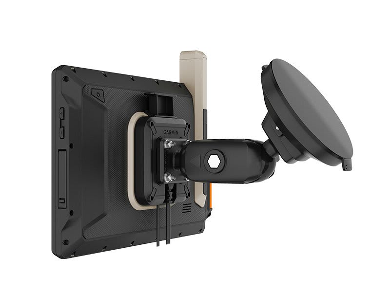
SECURE MOUNT

Use the included locking magnet-assisted mount to secure the navigator to your vehicle.

Connect for a better adventure.
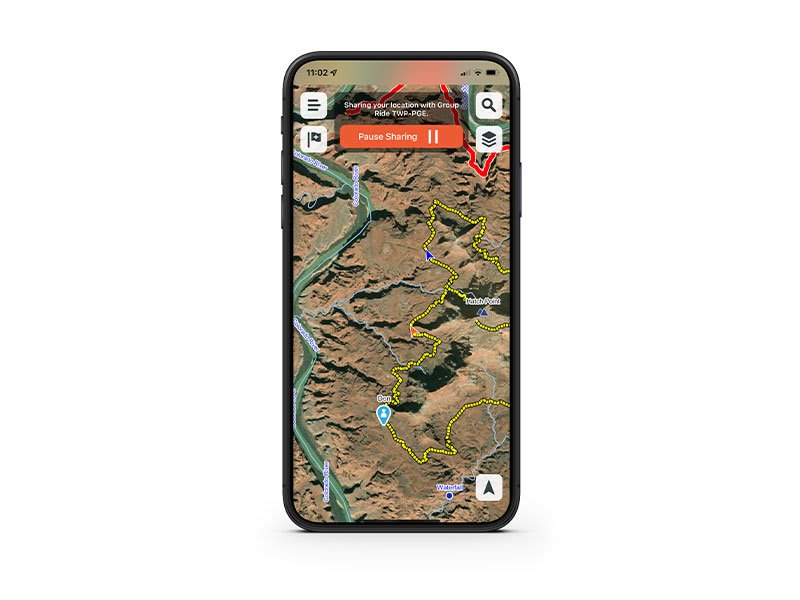
GROUP RIDE MOBILE

Track friends from your compatible smartphone or Tread device when you and your friends use the Tread app’s Group Ride Mobile feature.
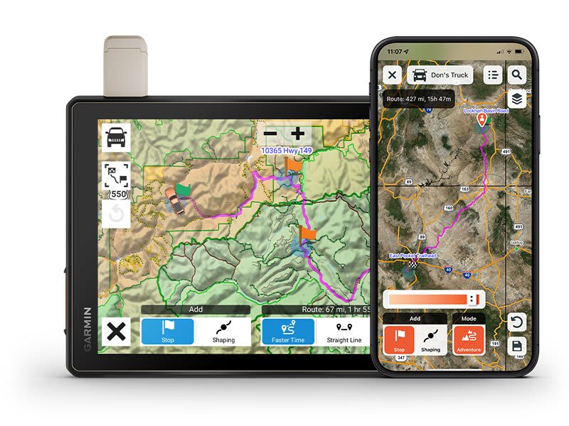
EASY ROUTE PLANNER

Use the Tread app to easily plan routes with the same maps, vehicle profiles and route preferences that you have on the Tread device.
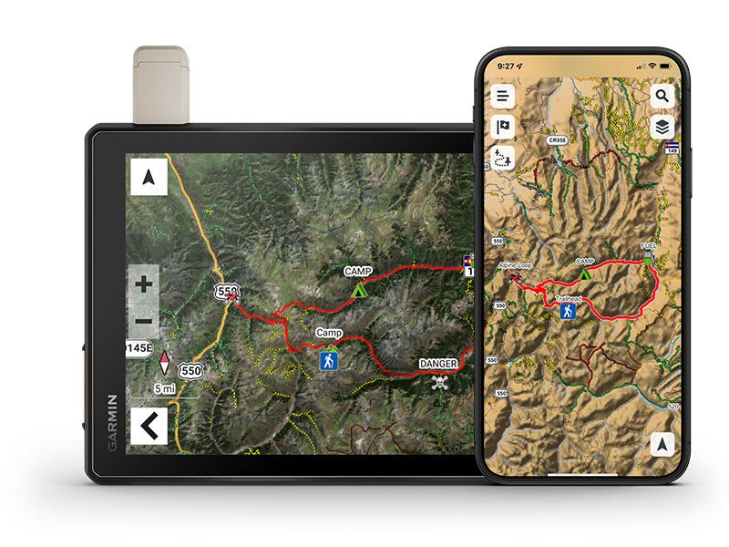
EASILY SYNC YOUR DEVICES

Use the Tread app to sync waypoints, tracks, routes and collections across all your devices. Easily import and share GPX files, too.
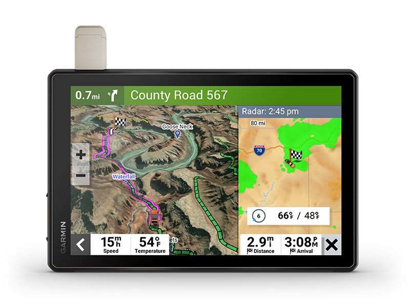
LIVE WEATHER

Weather ahead? Pair your Tread device with your compatible smartphone, and download the Tread app to access live weather, storm alerts, animated radar and more.
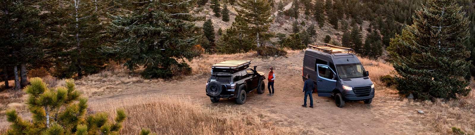
Overlanding equipment for expeditions.
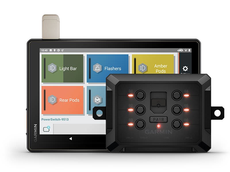
CONTROL YOUR ACCESSORIES

Pair Tread with the compatible Garmin PowerSwitch™ digital switch box (sold separately) to enable on-screen control for your vehicle’s 12-volt electronics — light bars, differential locks and more.
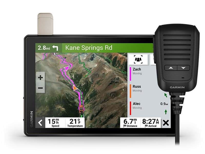
GROUP RIDE RADIO

Pair your device with the compatible Group Ride Radio (sold separately) for communication and tracking of other Tread-equipped riders in your group.
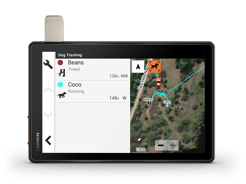
TRACK YOUR DOG PACK

Wirelessly pair Tread with select Garmin GPS dog trackers (sold separately) to help track and retrieve your sporting dogs in the field. You’ll see markers for each dog within tracking range, overlaid right on the navigator’s map screen.
EXPAND YOUR RANGE

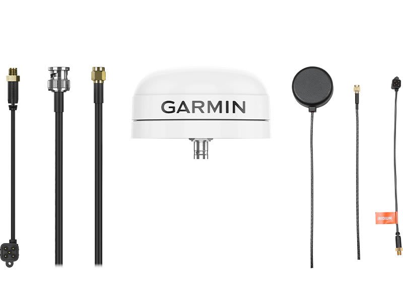
Get enhanced performance with the robust external GPS antenna and external inReach® antenna. Both are in a low-profile, water-resistant housing and have many installation options. Each sold separately.
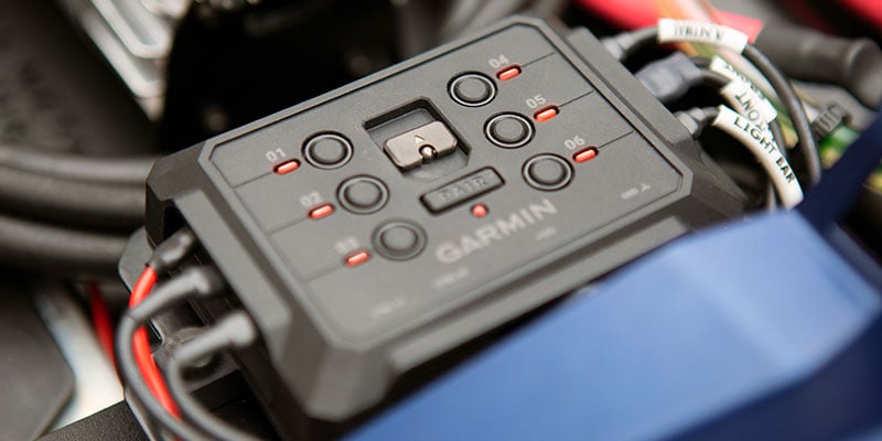
Control your vehicle’s accessories with Garmin PowerSwitch™
LEARN MORE

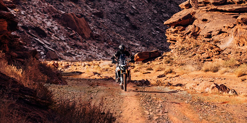
Support your need to wander with off-road maps for every adventure
LEARN MORE

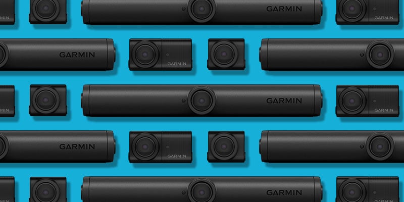
See what’s behind your vehicle with a Garmin backup camera
LEARN MORE

Get more from your Tread® device with the Tread® app.

LEARN MORE

1 Limitations may exist in map data for some road and trail route suggestions. Always defer to all posted road signs and conditions during vehicle operation. The Garmin OpenStreetMap products are intended to be used only as a supplementary travel aid.
2 Not available in all areas. Entering your vehicle’s profile characteristics does not guarantee your vehicle’s characteristics will be accounted for in all route suggestions. Always defer to all posted road signs and road conditions.
3 Active satellite subscription required for the inReach features. Some jurisdictions regulate or prohibit the use of satellite communications devices. It is the responsibility of the user to know and follow all applicable laws in the jurisdictions where the device is intended to be used.
* The CES Innovation Awards are based upon descriptive materials submitted to the judges, CTA did not verify the accuracy of any submission or of any claims made and did not test the item to which the award was given.
Copyright © 2022 by iOverlander, LLC. Satellite Imagery © 2021 Maxar Technologies (date of satellite imagery may vary). Wi-Fi is a registered trademark of the Wi-Fi Alliance. Copyright © 2022 Ultimate Campgrounds – All rights reserved. The Bluetooth word mark and logos are registered trademarks owned by Bluetooth SIG, Inc. and any use of such marks by Garmin is under license.

Physical & Performance

Display Size8.5″W x 5.3″H (21.7 cm x 13.6 cm); 10.1″ diagonal (25.7 cm)
Battery typerechargeable lithium-ion
Display resolution1280 x 800 pixels
GPSYes
Dimension9.9″W x 7.8″H x 1.2″D (25.2 x 19.9 x 3.1 cm)
Weight32.8 oz (930 g)
Display Typemulti-touch, glass, high brightness HD color TFT with white backlight
Battery lifeUp to 6 hours at 50% backlight
Up to 1 hour at 100% backlight
WaterproofIPX7

Maps & Navigation

Navigate-a-track navigationYes
Preloaded street mapsYes
External memory storageyes (256 GB max microSD™ card)
Ability to add mapsYes

Features

Ultimate Public CampgroundsYes
Wi-Fi® map and software updatesYes
Automatically identifies areas of biggest time gainNo
Parking Guard (alerts you to vehicle impacts)No
Round trip routingYes
Speed limit changesYes
Speed limit indicator (displays speed limit for most major roads in the U.S. and Europe)Yes
Max number of controllers* for pairing with a PowerSwitch device
*Controller is defined by a user’s smartphone, mobile device or compatible Garmin navigator (sold separately)
No
Magnetic Mountlocking magnet-assisted mount
Access to live services via app (traffic, weather, etc.)Yes
Vault compatible (secure online video storage)No
Interior and exterior recordingNo
Rider alert warnings for sharp curves, state helmet laws, speed cameras and moreNo
Preloaded private land parcel mapsyes (parcels greater than 4 acres)
Service History LogYes
Garmin Connect™ compatibleNo
Current weather plus 5 day forecast via Wi-FiNo
Simple truck profileNo
Trendy Places™ best stops along routeNo
LiveTrack via appNo
RV Parks & Services directoryYes
Group Ride Mobileyes (with Garmin Tread app)
True Optimal Lap™ with videoNo
Voice-activated navigation (operate device with spoken commands)No
Built-in inReach® Technology (requires active subscription; subject to regulations or prohibitions in some jurisdictions)Yes
Headphone jack/audio line-outNo
Control music and media from smartphone or MP3 playerYes
Michelin® The Green GuideNo
Number of switch outputsNo
Route shaping through preferred cities/streetsYes
Stream media and Alexa responses through vehicle stereoNo
Trucking points of interestNo
Requires cellular data connectionNo
Driving performance scoresNo
True Track Positioning™ (your racing line)No
Wireless ANT+® technologyNo
Segment analysis (racing line, speed and acceleration/deceleration)No
Roadtrip Routes™ adventurous routesNo
Pair with compatible inReach® devicesNo
Smart notifications via appYes
Truck & Trailer Services directoryNo
Dust ratingIP6X
Mile marker info – TruckingNo
Includes map updatesYes
Barometric altimeterYes
Dual-orientation displayYes
Planned & dynamic fuel stopsNo
Includes trafficyes (with Garmin Tread app)
Handlebar mount (up to 1″)No
Fist mic compatibilityNo
Compatible with external inReach® satellite antennaYes
Pitch and Roll gaugesYes
Sunrise/sunset times – RVNo
Mile marker info – RVNo
Max number of PowerSwitch devices for pairing with a controller*
*Controller is defined by a user’s smartphone, mobile device or compatible Garmin navigator (sold separately)
No
State & country border notices – TruckingNo
Motorcycle or powersports specific points of interest for cycle repair services, dealers and moreYes
Radio Frequency BandNo
State border notices – RVNo
PrePass weigh station notifications and bypass decisionsNo
Helmet law notificationsNo
2 microphones; beam-forming technologyNo
Drop ratingMIL-STD-810
Load-to-dock guidanceNo
Track supportNo
Turn-by-turn trail navigationYes
Radio transmitted canned messagesNo
Birdseye Satellite Imagery (download via Wi-Fi)Yes
Internal storage64 GB
HOS violation warningsNo
1″ ball adapter with AMPS plateNo
Data cardsmicroSD™ card (not included)
Built-in AlexaNo
Screw-down mountNo
Garmin Real Directions™ landmark guidanceYes
Lane assist with junction view (displays junction signs)Yes
Backup camera compatibleyes (BC™ 50)
iOverlander™ points of interestYes
Clarity ™ HDRNo
Max amps per switch outputNo
Sunlight readable and weather resistantYes
Group Ride voice communicationsNo
Includes automotive mountNo
Supports multiple usersNo
IFTA fuel logging capabilityNo
Local Spots™ nearby recommendationsNo
Stores history of all on-track performanceNo
Group Ride update rateNo
Preloaded topographical mapsYes
Number of hardwire inputsNo
Track recorder (breadcrumbs)Yes
Preloaded USFS Roads and Trails, including motor-vehicle-use-maps for motorcycle, ATV, SXS and full-size 4×4Yes
VIRB® controlNo
GLONASSNo
Downloadable Satellite Imageryyes (BirdsEye)
Preloaded global track databaseNo
TripAdvisor® Traveler RatingsYes
Specialized routing for the size and weight of your vehicleyes
Group Ride trackingNo
Built-in Spotify® & Pandora® music playersNo
Removable batteryNo
Audio line-out/headphone jackNo
Live View (Wi-Fi® connection required)No
Garmin Adventurous Routing™Yes
Glove-friendly touchscreenYes
Environmental Zones RoutingNo
High Definition 3D terrainYes
Dog trackingyes (when paired to compatible dog track system)
Powered magnetic mountNo
Image processingNo
BirdsEye Direct Satellite ImageryYes
Session comparisonsNo
BLUETOOTH® pairingyes (works with BLUETOOTH-compatible helmet, headset or smartphone; BLE capable)
Elevation profileYes
Custom map supportYes
Sunrise/sunset times – TruckingNo
3D TerrainYes
Compatible with Group Ride RadioYes
TOPO map supportYes
Point-to-point navigationYes
1.5″ ball adapter with AMPS plateYes
Millions of Foursquare® points of interestNo
Tube mount (1.5″ – 2.375″)No
Built-in accelerometersNo
Interior night visionNo
GPS speed and location info in videoNo
Built-in dash camera with automatic incident detectionNo
Driver alerts for sharp curves, school zones, red light and speed camera warnings and moreNo
Preloaded US public land boundariesYes
Compatible with external GPS antenna with mountYes
Camera-assisted features for forward collision warnings, lane departure warnings and “Go” alert.No
Real-time audio cues/audio coachingNo
Displays best lap time, adaptive delta time, number of laps and total session timeNo
Supports multiple carsNo
Downloadable USGS Quad SheetsNo
Road elevationsyes
Max amps totalNo
10 Hz multi-GNSS positioningYes
Pair with Garmin PowerSwitch™ digital switch boxYes
Easy Route Planner with GPX file sharingYes
CompassYes
Compatible with Garmin Explore™ appNo
GalileoYes
Truck-specific speed limitsNo
Incident Detection (G-Sensor)No
Popular truck route dataNo
3-D buildings and terrainNo

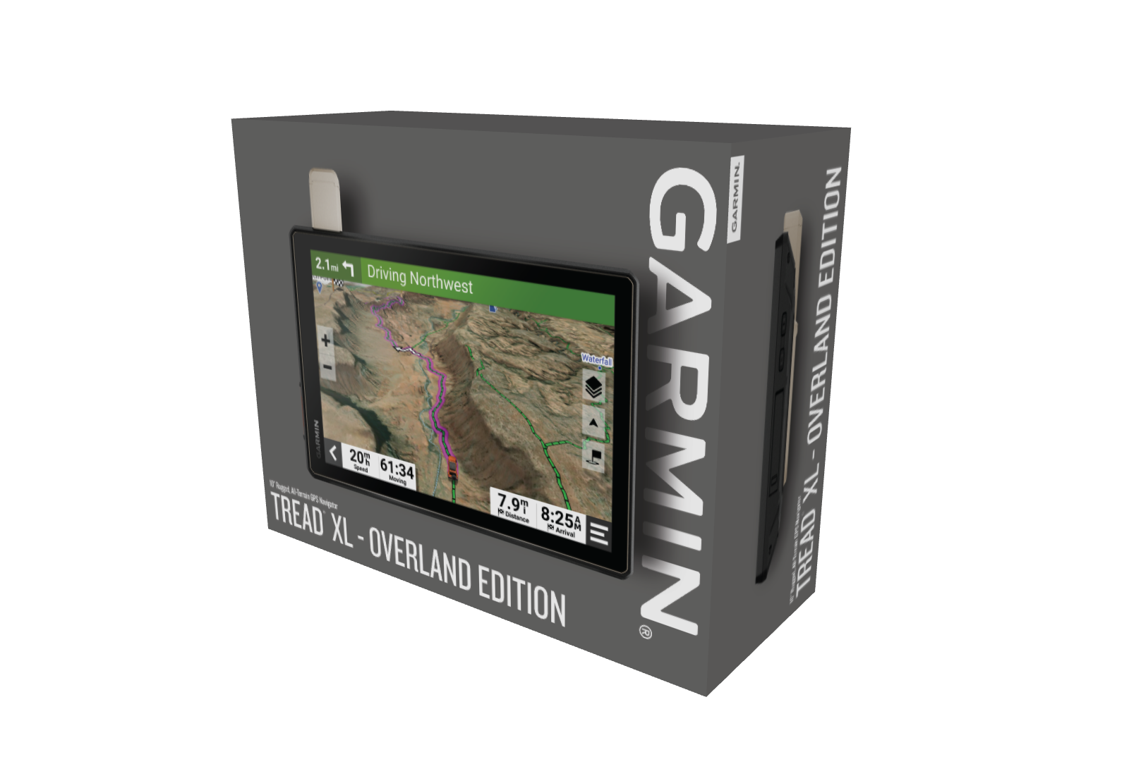
  • Tread XL – Overland Edition
  • Suction cup mount
  • Vehicle power cable
  • Locking magnet-assisted mount
  • USB-C cable
  • Documentation
Weight4.95 lbs

Reviews

There are no reviews yet.

Be the first to review “Tread® XL – Overland Edition”

Your email address will not be published. Required fields are marked *


The reCAPTCHA verification period has expired. Please reload the page.